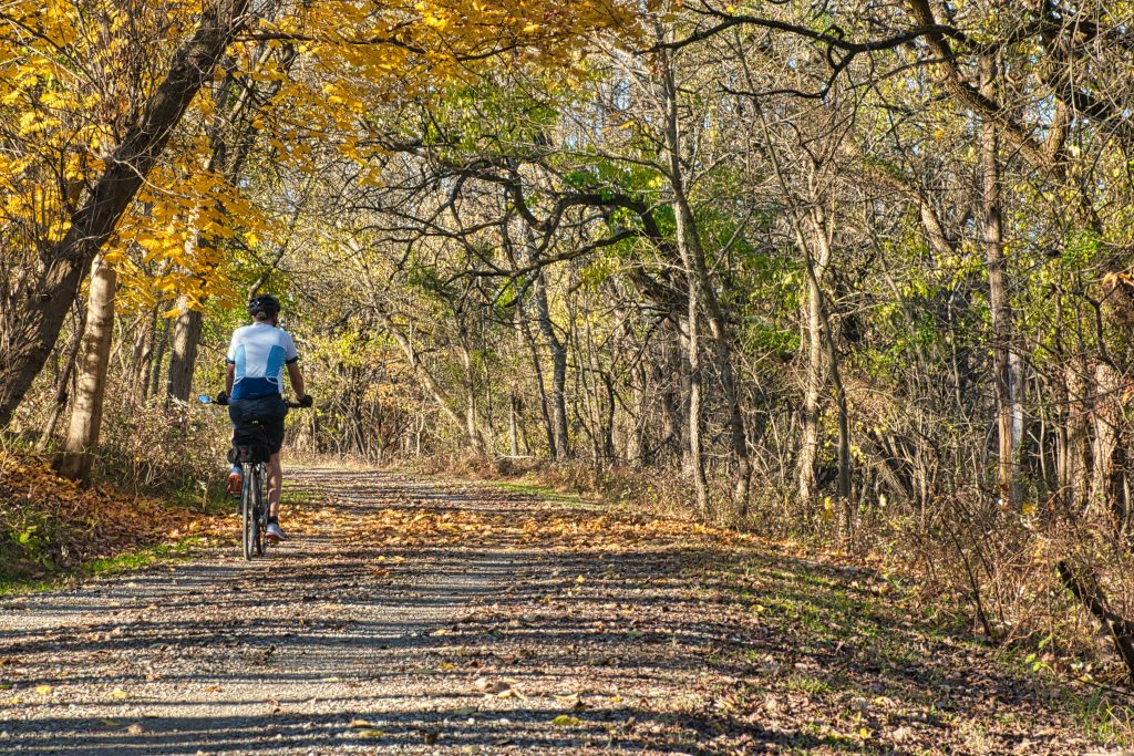
Cincinnati has a variety of bike paths where you can do both, whether you’re a professional rider seeking to do some training or just someone who appreciates being outside and getting some fresh air.
The Queen City has it all, from moderate paved paths to challenging backcountry mountain biking courses.
We have produced a list of Cincinnati’s best bike paths.
Map of Bike Trails
Every bike trail referenced in this article is shown on the map below:
Paved Trails
Little Miami Scenic Trail
The Little Miami Scenic Trail, which runs 78 miles from the eastern Cincinnati neighbourhood of Newtown to Springfield, Ohio, is Cincinnati’s largest and most well-known cycling trail. The route passes through a variety of communities, but two of the more popular stops along the way are:
Trail map: Little Miami Scenic Trail
Downtown Loveland
It is home to many pubs, restaurants, stores, and breweries, including Mile 42 Coffee, one of our favourite coffee shops.
Old Milford

Milford’s downtown neighbourhood has a variety of stores and restaurants, including Little Miami Brewing Company, one of our favourite breweries on the east side with a rooftop bar.
The trail is well-maintained and well-paved, making a major difference for anyone wishing to go for a long ride.
Trail map: Little Miami Scenic Trail
Lunken Airport Loop
The Lunken Airport Loop, a five-mile asphalt route that loops around the Lunken Airport and gives some great vistas of the Little Miami River, is another popular trail on the east side. This is a beginner-friendly track that riders of all abilities may enjoy, and it can get rather crowded when the weather is nice. Also, remember that the trail has very little shade, so bring proper clothing.
Trail map: Lunken Airport Loop
Ohio River Trail
The Ohio River Trail, which runs for roughly five miles out and back along the Downtown Riverside, is one of Cincinnati’s more scenic bicycle trails. The trail passes past Smale Riverfront Park, Sawyer Point Park, and International Friendship Park, providing views of the Cincinnati cityscape and the Ohio River.
There are plans to continue the route to the city’s east end, but riders must rely on on-road biking for now.
Trail map: Ohio River Trail
Miami Whitewater Forest
Miami Whitewater Forest, located in Harrison, has another well-paved path. The 8-mile cycling circle winds through various settings, including meadows and plains, and provides a relaxing and easy ride. If you happen to be going through, keep an eye out for walkers and runners on the trail.
Trail map: Miami Whitewater Forest Shaker Trace Trail
Mountain Bike Trails
Devou Park Trails

The backcountry trails at Devou Park, located just over the Ohio River in northern Kentucky, are one of the most popular spots to go mountain riding. Devou Park offers a wonderful experience for all ages and skill levels, with approximately 10 miles of dirt trails and plenty of elevation changes.
Trail map: Devou Park Trails
Mitchell Memorial Forest
On Cincinnati’s far west side, Mitchell Memorial Forest is another great place to go mountain biking. This location has two loops, each about 4 miles long, that weave through forested areas with plenty of gusts and curves that can be difficult for even experienced riders.
Trail map: Mitchell Memorial Forest
England-Idlewild Park
England-Idlewild Park, located in northern Kentucky, has six mountain bike courses of various difficulties. This is one of the best places in the Tri-State area for mountain riding, not just in Cincinnati.
To get a sense of what the trails are like, watch the video below:
Trail map: England-Idlewild
East Fork State Park
East Fork State Park is also a fantastic area to go mountain biking. This park, located on Cincinnati’s far east side, has about ten miles of trails that loop around the ridges overlooking East Fork Lake.
Trail map: East Fork State Park
Harbin Park
In Fairfield on Cincinnati’s northwest side, Harbin Park has 6 miles of mountain biking trails with enough elevation changes and tight turns to test even the most experienced riders.
Trail map: Harbin Park


7 thoughts on “Cincinnati’s Best Bike Trails – A Complete and Comprehensive Guide!”